A powerful web app for territory management built with Blazor C# and FluentUI
A complete solution for creating map-based territories, managing allocations through Telegram automation, and generating comprehensive reports - all while keeping your data secure and under your full control.
Draw and manage territory boundaries using polygons on an intuitive interactive map. Visualize all territories at a glance with clear visual indicators and easy editing capabilities.
Streamline territory assignments through an intelligent Telegram bot. Simply send territory ID and person name - the bot automatically validates availability and prevents conflicts with territories assigned within the last 4 months.
Access detailed statistics and comprehensive reports on territory allocations, usage patterns, and performance metrics to make informed management decisions.
Extend functionality with custom C# plugins using the integrated Monaco editor. Write, test, and deploy custom reports and features directly in your browser without external development tools.
Bridge digital and physical territory management with built-in QR code scanners. Quickly access territory information by scanning printed materials, perfect for field work.
Auto-generate professional PDF documents featuring high-quality GPS imagery from OpenStreetMaps, territory details, and QR codes that link directly to Google MyMaps for easy navigation.
Built with Microsoft's cutting-edge Blazor Server framework, combining the power of C# with modern web technologies. This means faster development, better maintainability, and seamless integration with existing .NET ecosystems.
Features Microsoft's FluentUI component library, providing a consistent, accessible, and professional user interface that follows modern design principles and works seamlessly across devices.
Runs on any platform supporting .NET 8, including Windows, Linux, and macOS. The web interface works with all modern browsers, ensuring universal accessibility.
Leverages SignalR for real-time updates and notifications, ensuring all users see changes immediately without manual refreshes.
Use the interactive map interface to draw territory boundaries as polygons. Add descriptions, set priority levels, and define specific requirements for each territory.
Send a simple message to the Telegram bot with format: "Territory ID, Person Name". The bot instantly validates territory availability and ensures no conflicts with the 4-month restriction rule.
Automatically generate professional PDF documents containing high-resolution OpenStreetMaps imagery, territory details, and QR codes linking to Google MyMaps for easy navigation.
Use printed territory cards with QR codes for offline reference, or scan codes with the built-in scanner for instant digital access to territory information.
Monitor territory status, completion rates, and assignment history through comprehensive dashboards and customizable reports.
Use built-in analytics or create custom reports with the Monaco editor to identify patterns, optimize assignments, and improve overall territory coverage.
This website and the underlying web app were developed by a dedicated team consisting of an elder and an auxiliary servant with extensive experience in service. This application was developed by experienced and trustworthy developers who understand the critical importance of data privacy and security. Our team consists of individuals with proven track records in building secure, enterprise-grade applications.
Your sensitive territory information is protected through multiple layers of security:
Unlike cloud-based solutions that store your data on third-party servers, our system gives you complete control. All territory data, user information, and system configurations remain exclusively on your own self-hosted infrastructure, ensuring absolute privacy and compliance with your organization's security requirements.
We understand that people who use territory management systems are often concerned about data privacy. That's why our architecture ensures that we never have access to your data - it never leaves your own servers. This approach provides peace of mind for organizations that need to maintain strict control over sensitive information.
Deploy on your own Ubuntu VM with enterprise-grade Traefik proxy for automatic HTTPS, load balancing, and routing. This professional setup ensures optimal performance, security, and scalability while maintaining full control over your infrastructure.
We provide the software tools and deployment instructions - you control and store all data on your own systems. This architectural approach ensures complete privacy and compliance with your organization's data governance policies.
Access detailed deployment guides, configuration examples, and complete source code on our GitHub repository. Submit issues, contribute improvements, or customize the application to meet your specific needs.
Beyond web access, the system includes a dedicated Windows desktop application for offline access and enhanced functionality. Automated database backups are sent via secure, password-protected email to prevent data loss.
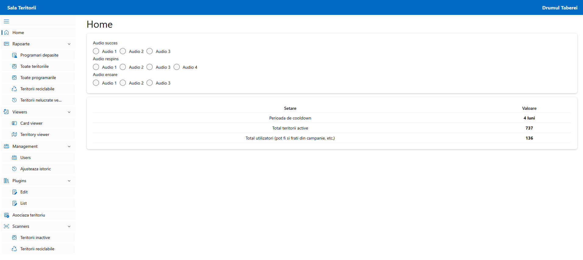
Integrate with existing systems using our comprehensive REST API. The built-in Scalar documentation interface provides interactive API exploration and testing, making custom integrations straightforward for your development team.
Stay current with regular updates, bug fixes, and new features. The open-source nature allows you to review all changes, contribute improvements, and maintain the version that best serves your organization.